
Digging In: Field Methods
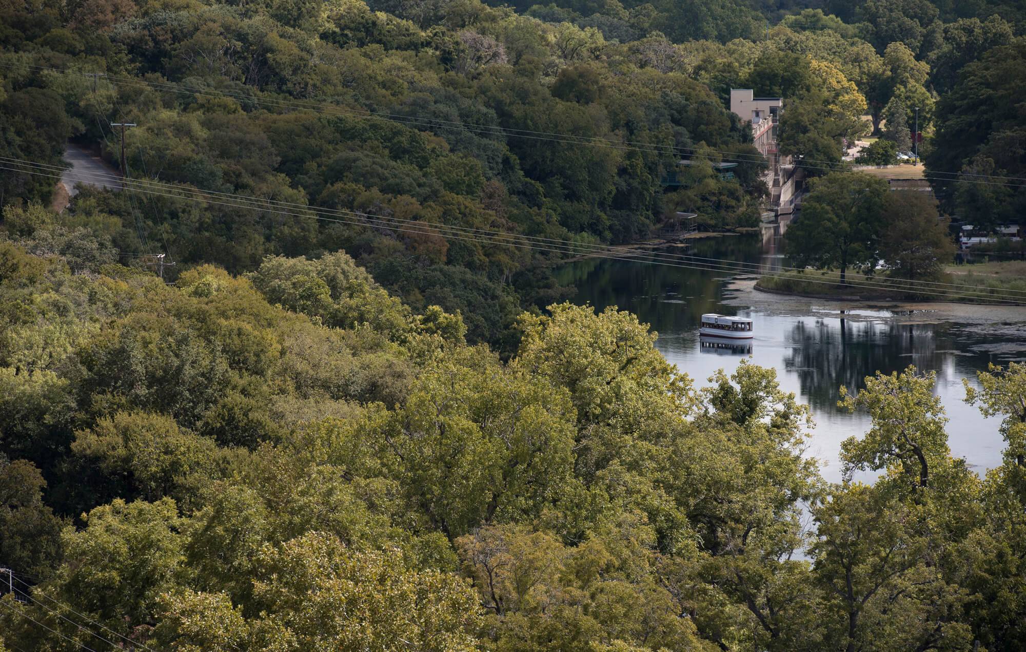
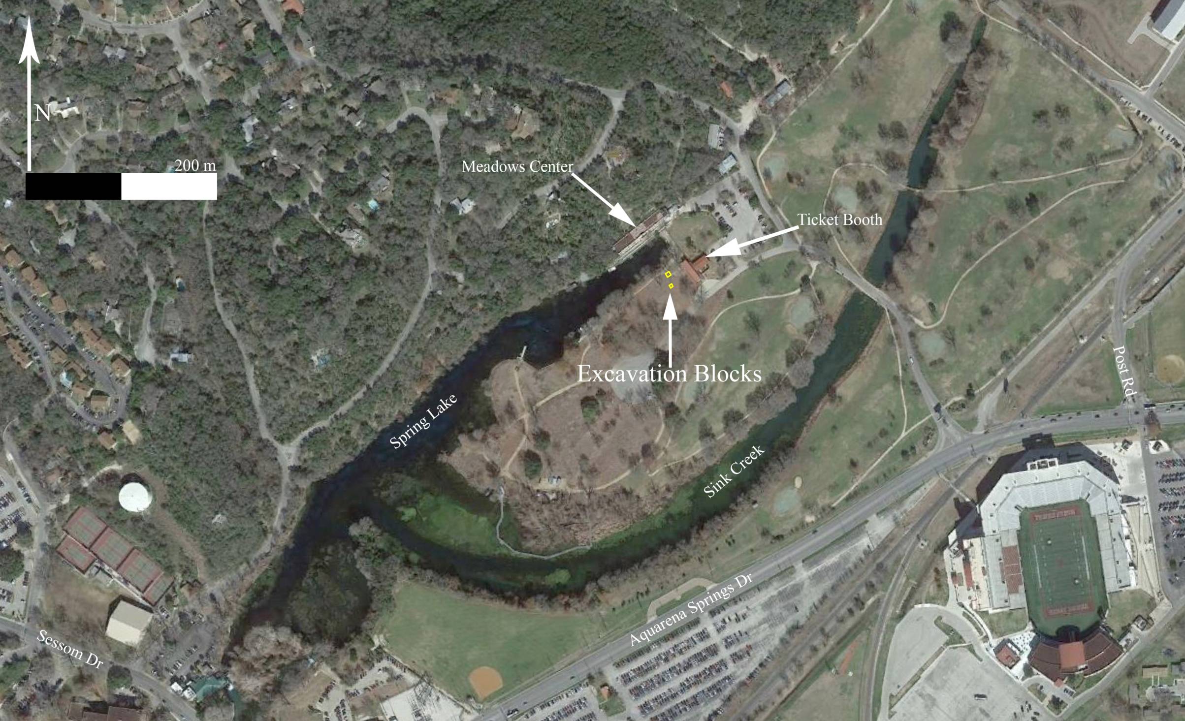
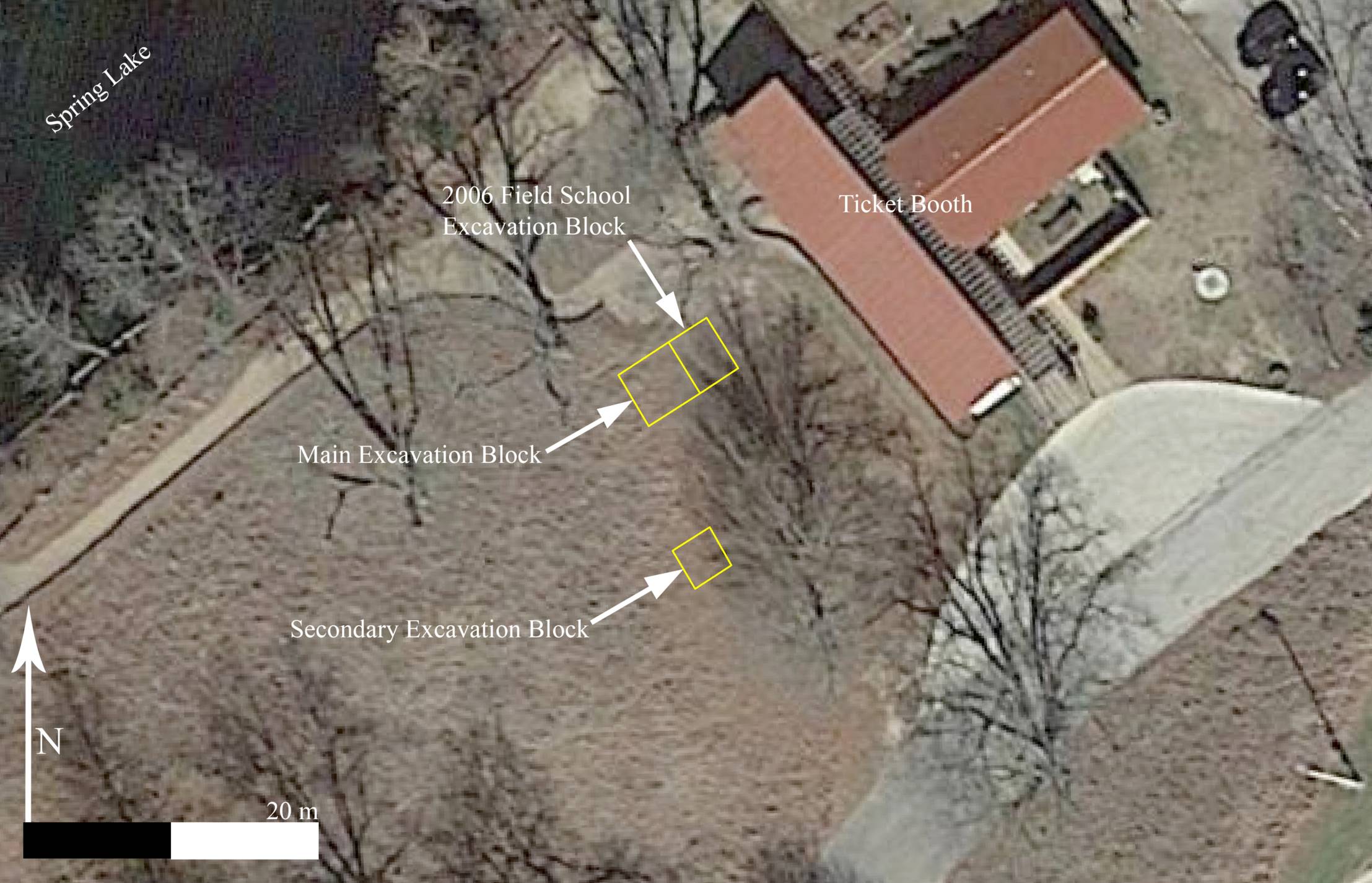
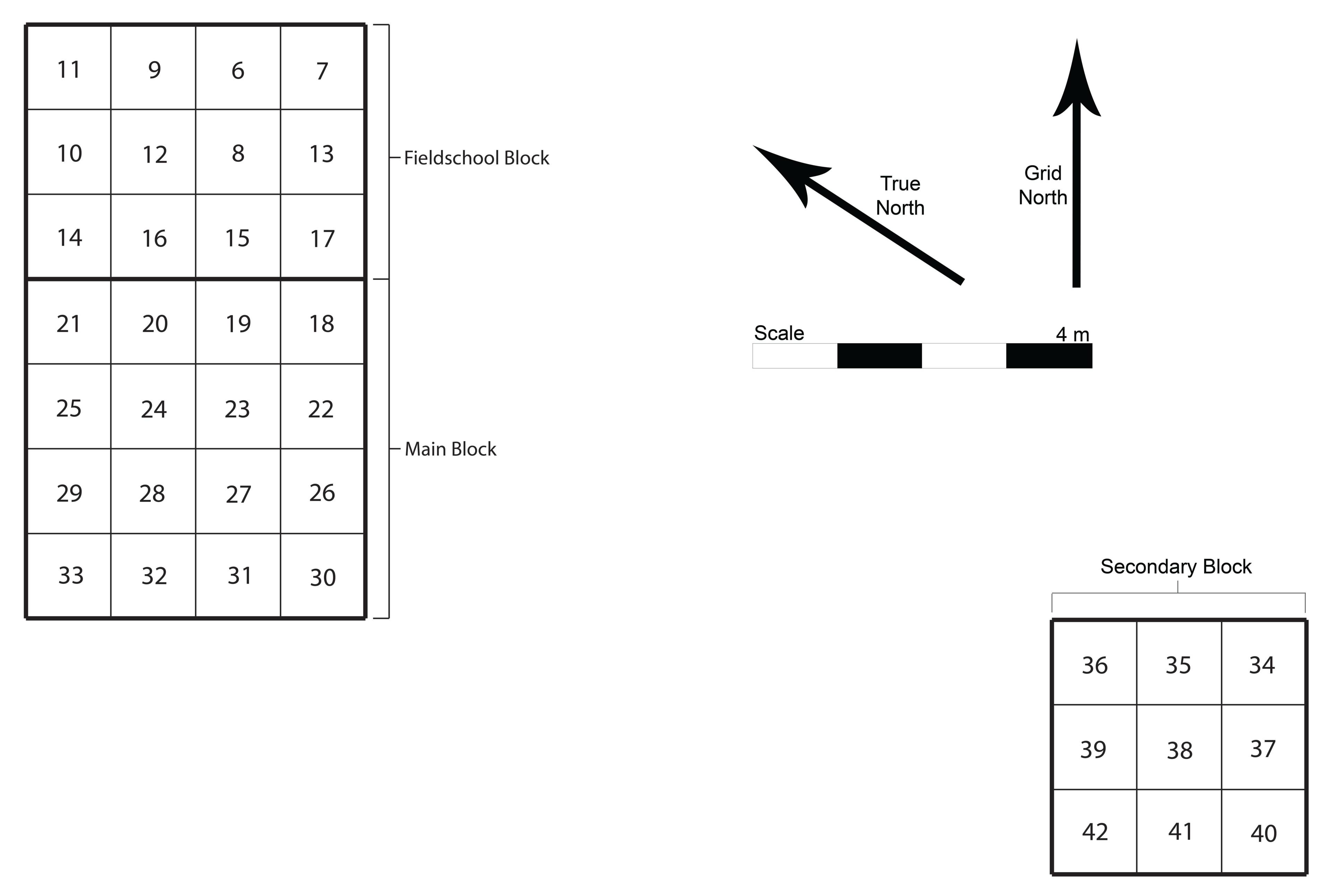
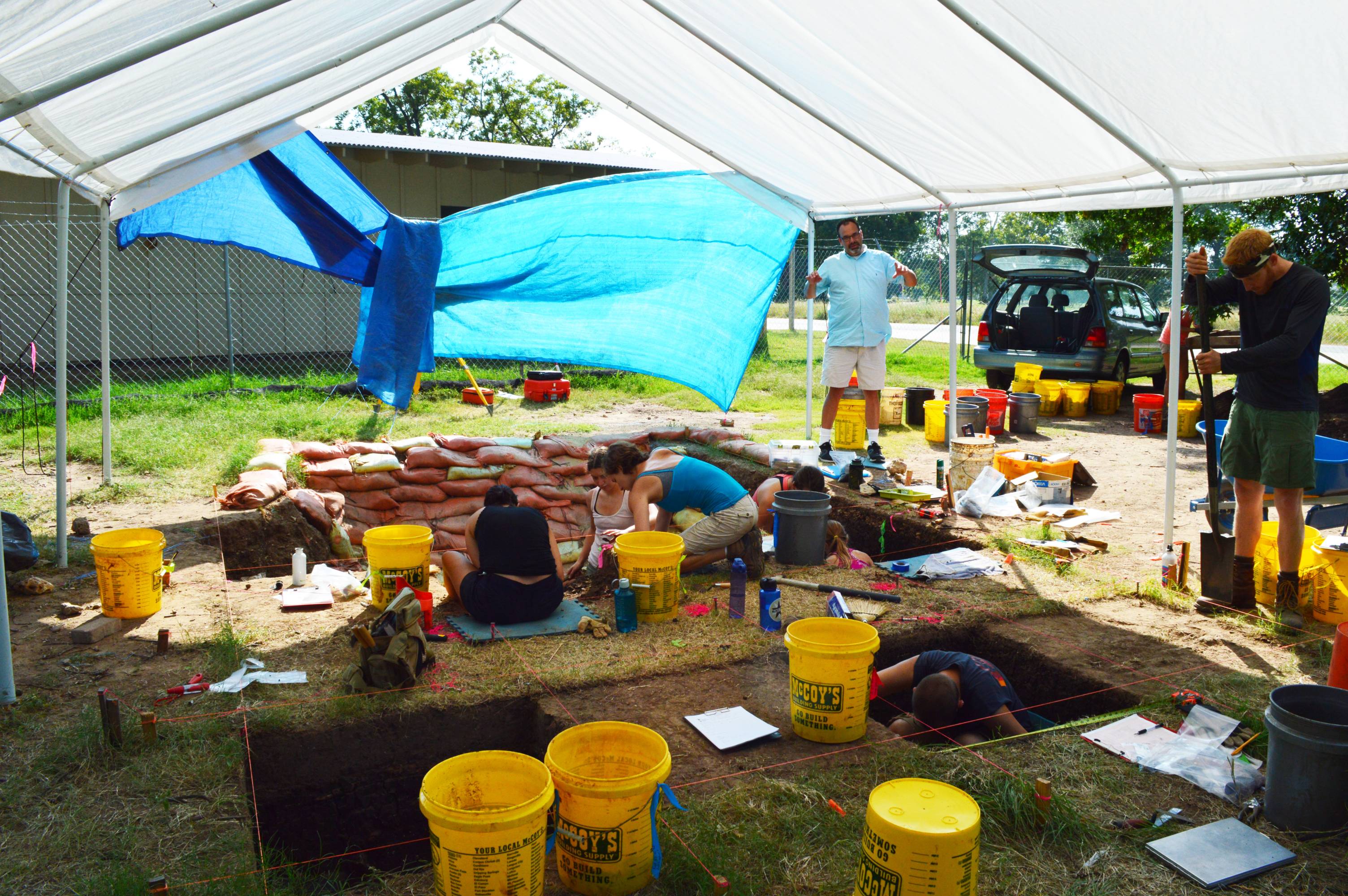
The Spring Lake Data Recovery included the excavation of approximately 40 cubic meters of earth spread between two blocks of 1 x 1 meter excavation units. The primary excavation block was 4 x 4 meters and was placed immediately against a 3 x 4 meter block excavated during a 2004 and 2006 Texas State Archaeology Field School. The original field school block was placed around a 1 x 1 m test unit which was excavated during a survey (Nickels and Bousman 2010) performed shortly after Texas State University acquired the property surrounding Spring Lake. The secondary excavation block was placed 8 meters east and 1 meter south of the southwest corner of the main block in order to determine if trends observed in the first block extended further away from the springs.
As can be seen in the images below the units are not oriented in an exact north-south alignment. The alignment of excavation units is often arbitrary, and in this case was originally aligned with the edge of a no longer extant parking lot.
Excavation Unit Layout
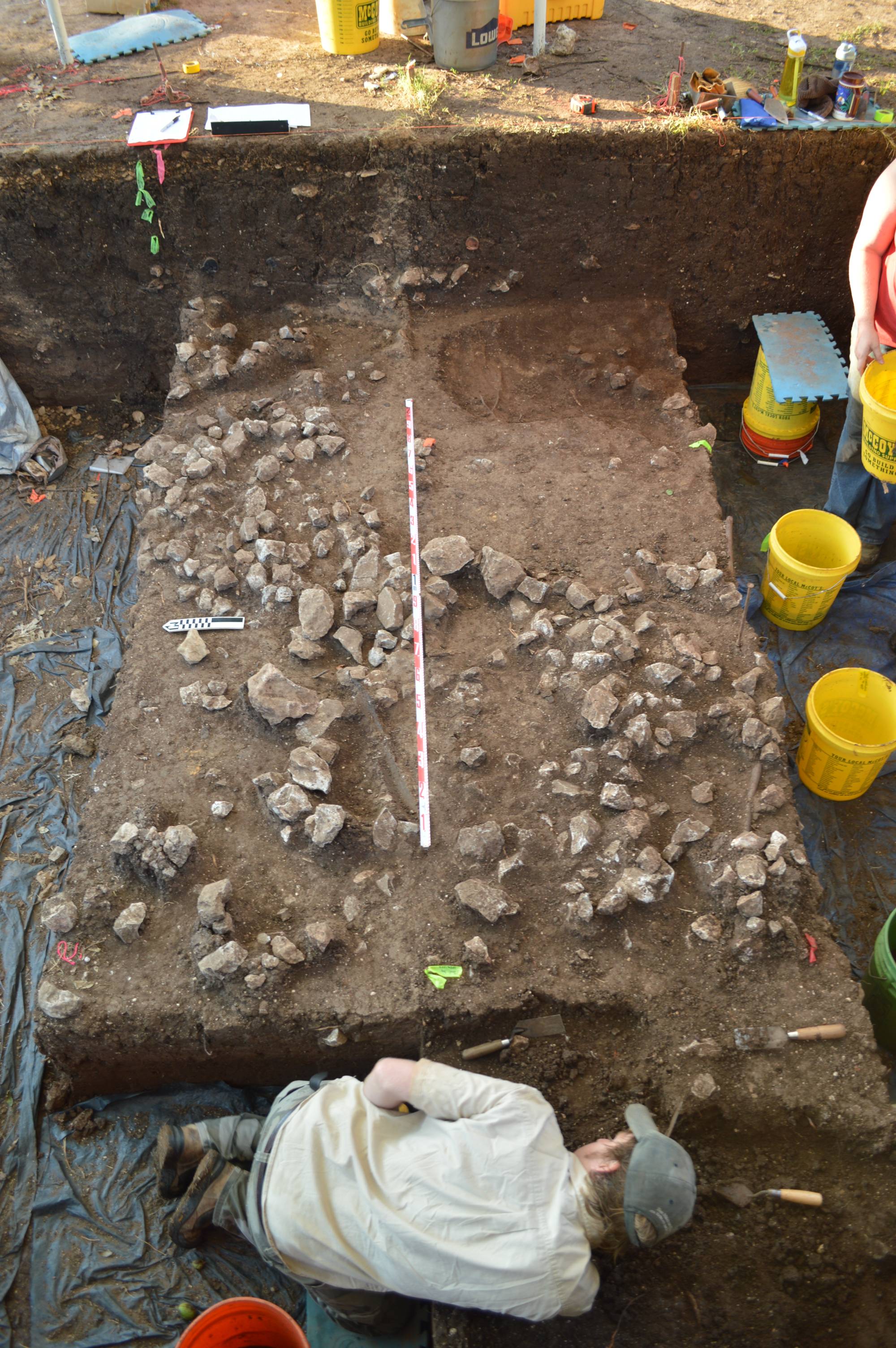
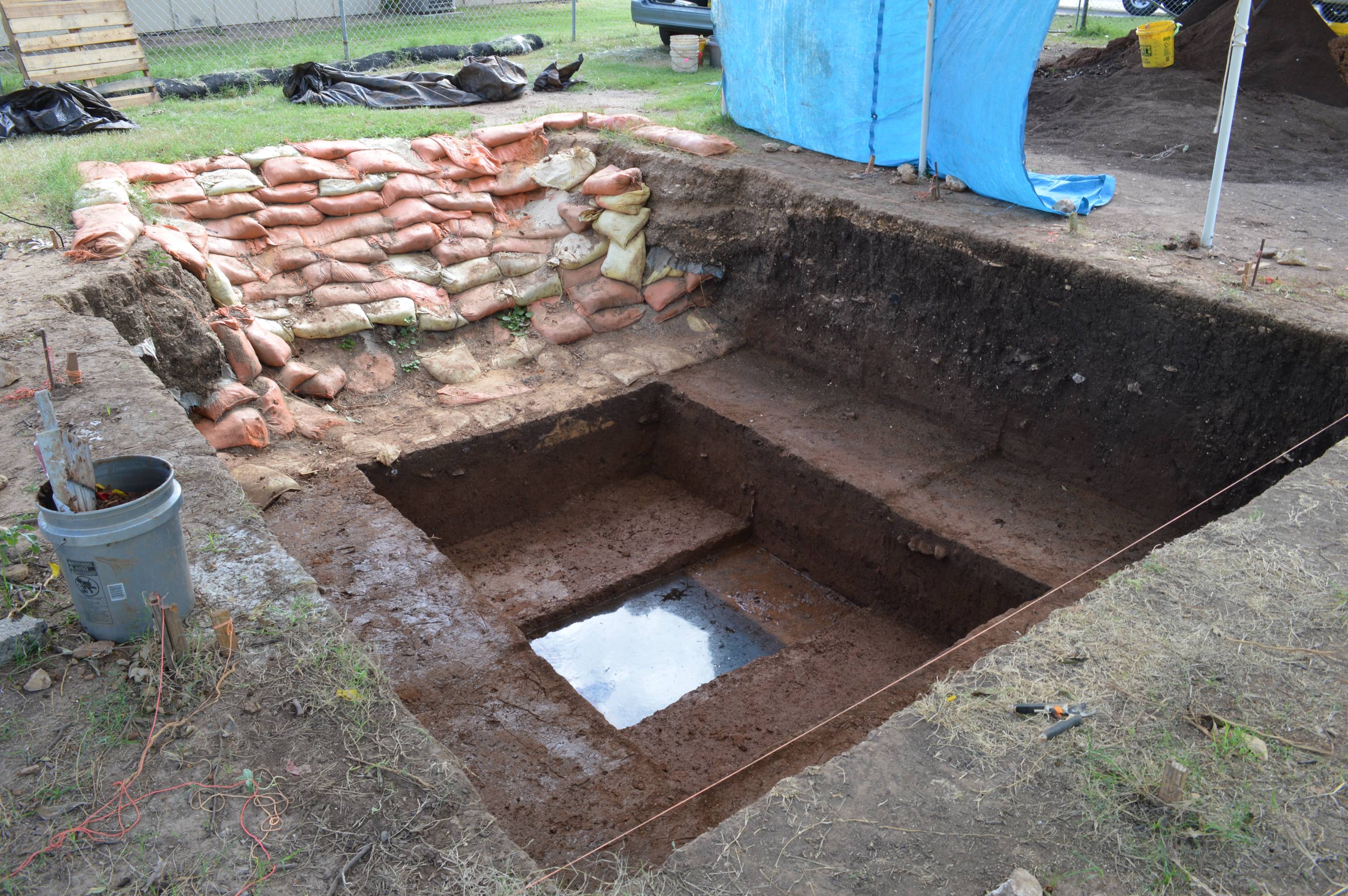
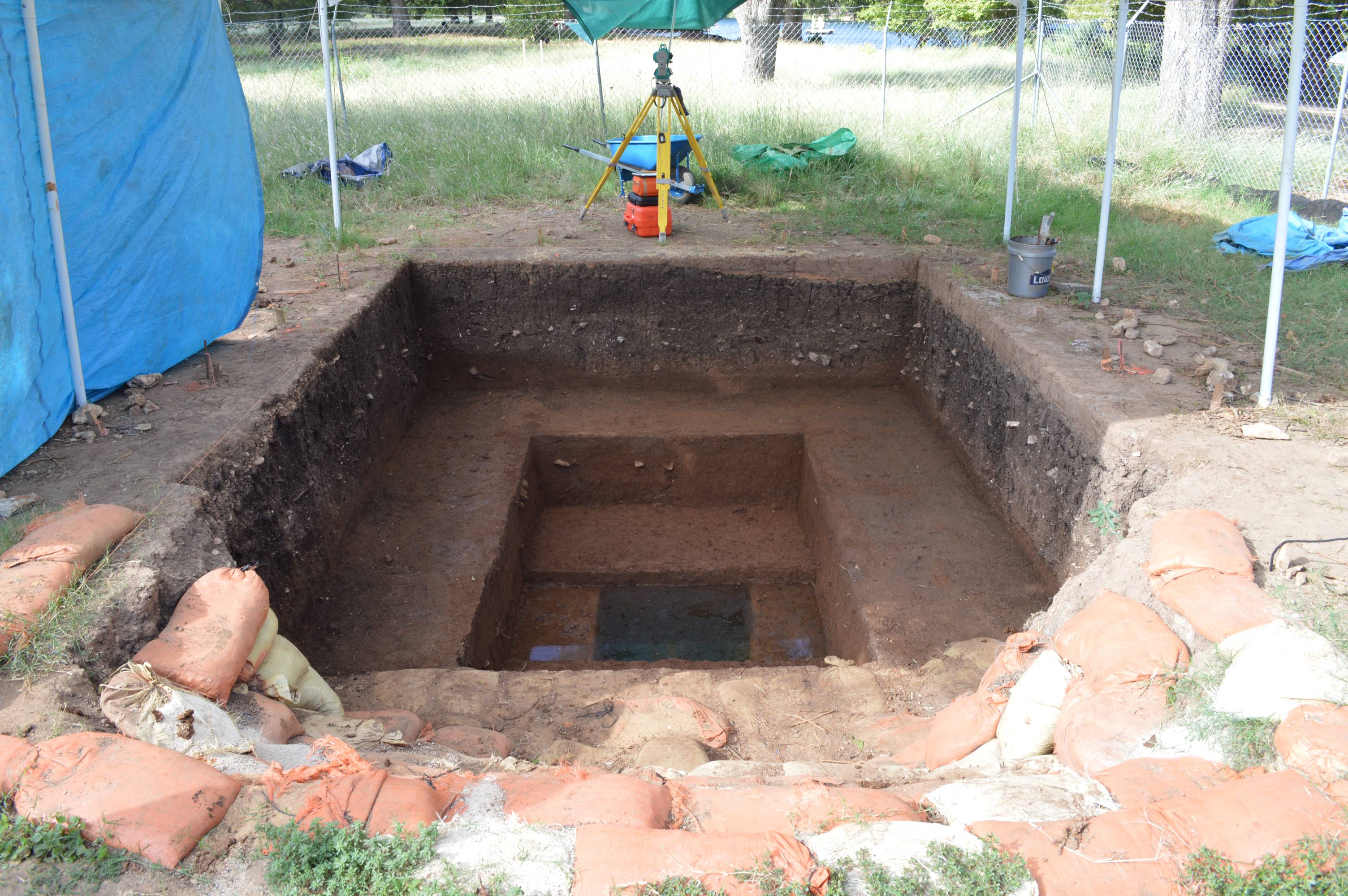
Excavation of Main Block
Excavations for all of the Spring Lake Data Recovery were done primarily by identifiable units of sediment/soil stratigraphy and secondarily by arbitrary 10-centimeter units. This means that no individual unit-level included more than 1 x 1 m area excavated to a depth of 10 cm, and when stratigraphic changes were encountered within a 10-cm level, the two distinct strata were collected separately.
The below series of images shows the progression of excavation of the main block. Excavation of the main block was preceded by the re-excavation of the backfill of the old fieldschool block. The bottom half of the field school block was filled with orange sandbags which were rearranged into a ramp for ease of walking into and out of the main excavation block. The entirety of the main block was taken down to level 15 or 150 cm below datum (cmbd). For safety against wall collapse, the excavation was then stepped in to a 2 x 3 meter block which was taken to level 20 (200 cmbd) at which point the water table was encountered. Then by using a water pump to draw out water seeping in from the walls, a single 1 x 1 m unit in the middle was taken to level 30 (300 cmbd).
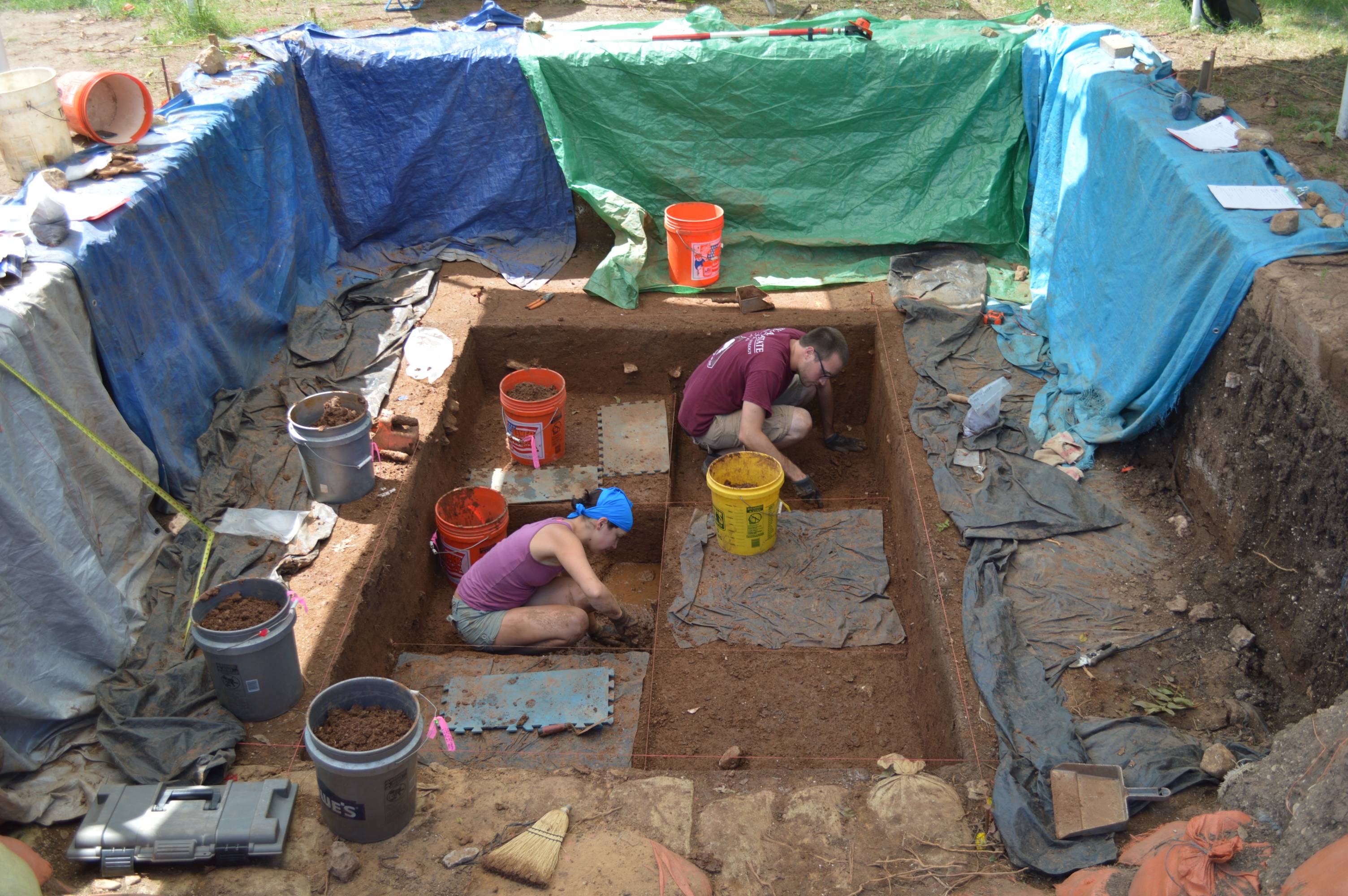
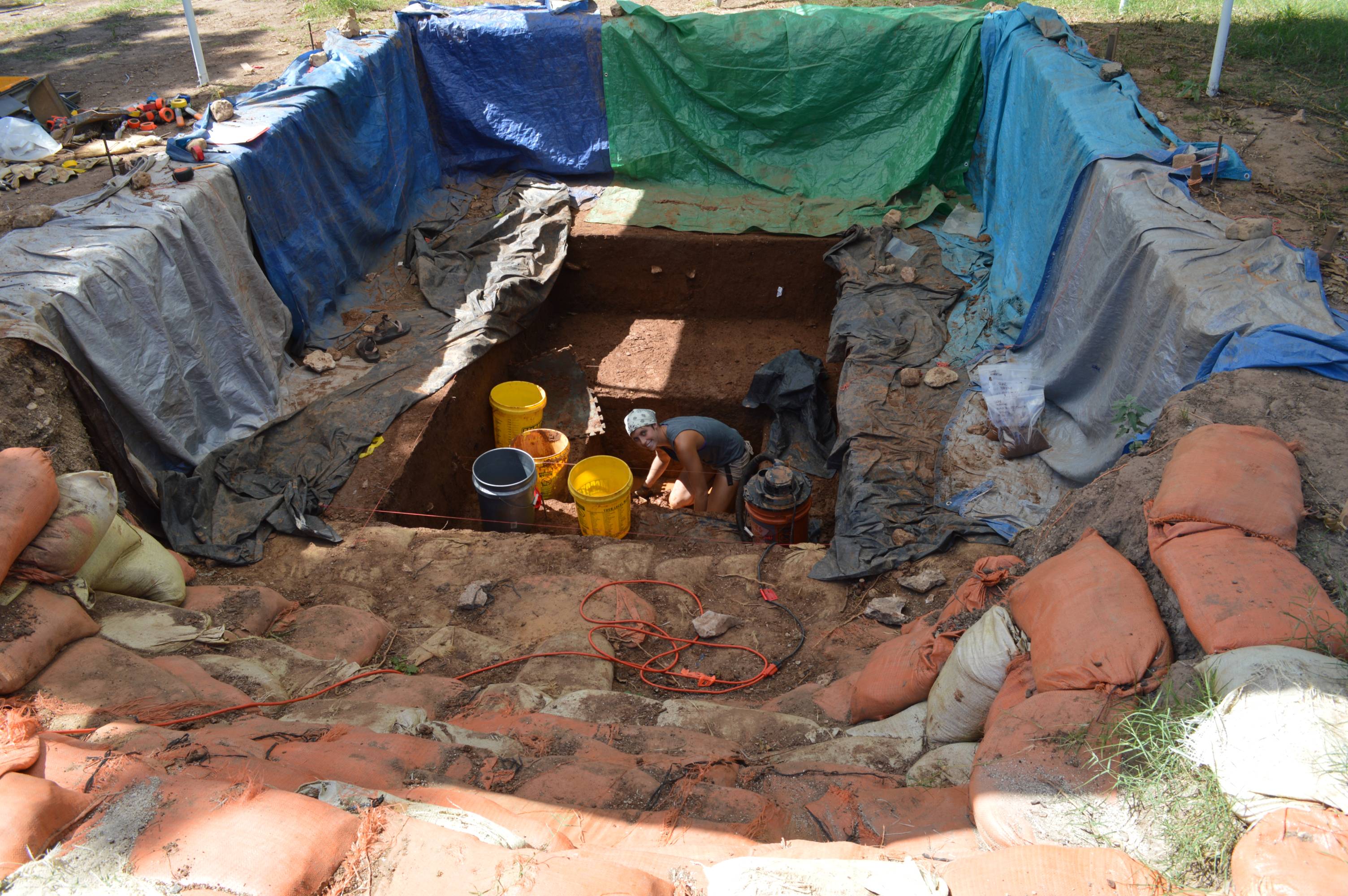
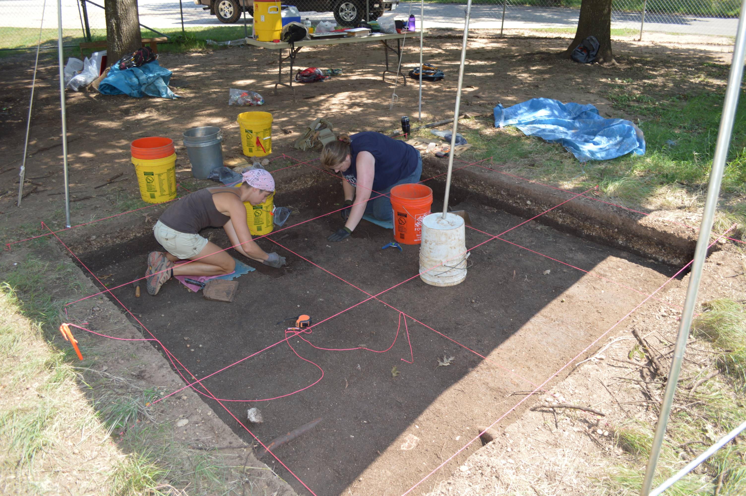
Excavation of Secondary Block
The excavation of the secondary block proceeded in almost the same way as the main block. The entire 3 x 3 meter block was taken to level 15 (150 cmbd). A 1 x 3 block was then taken to level 20 (200 cmbd) where the water table was encountered, and then a single 1 x 1 m unit in the middle was taken down to level 30 (300 cmbd) using a water pump to fight the water table.
Keeping Context: Recording Artifact Locations in Three Dimensions
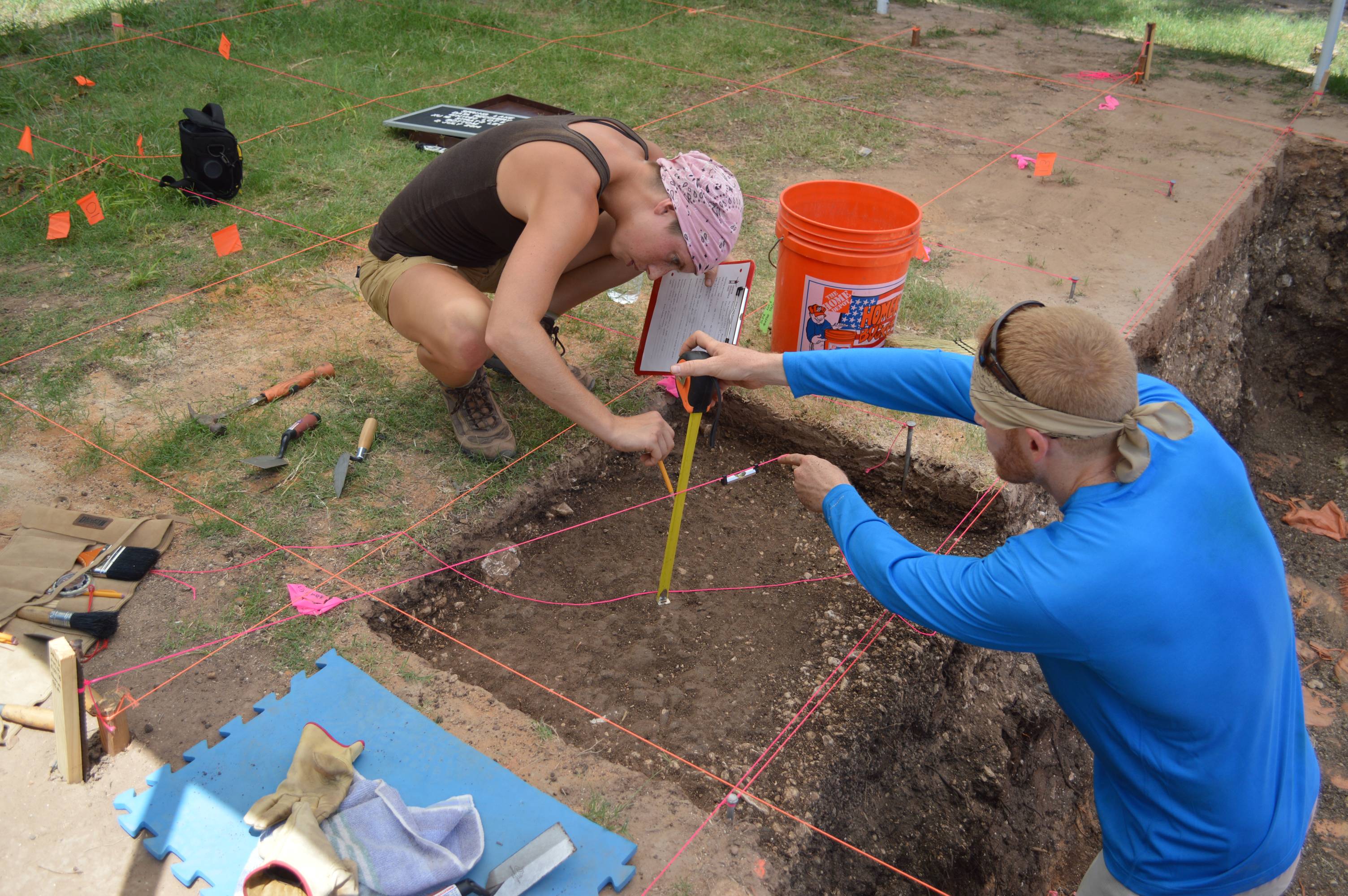
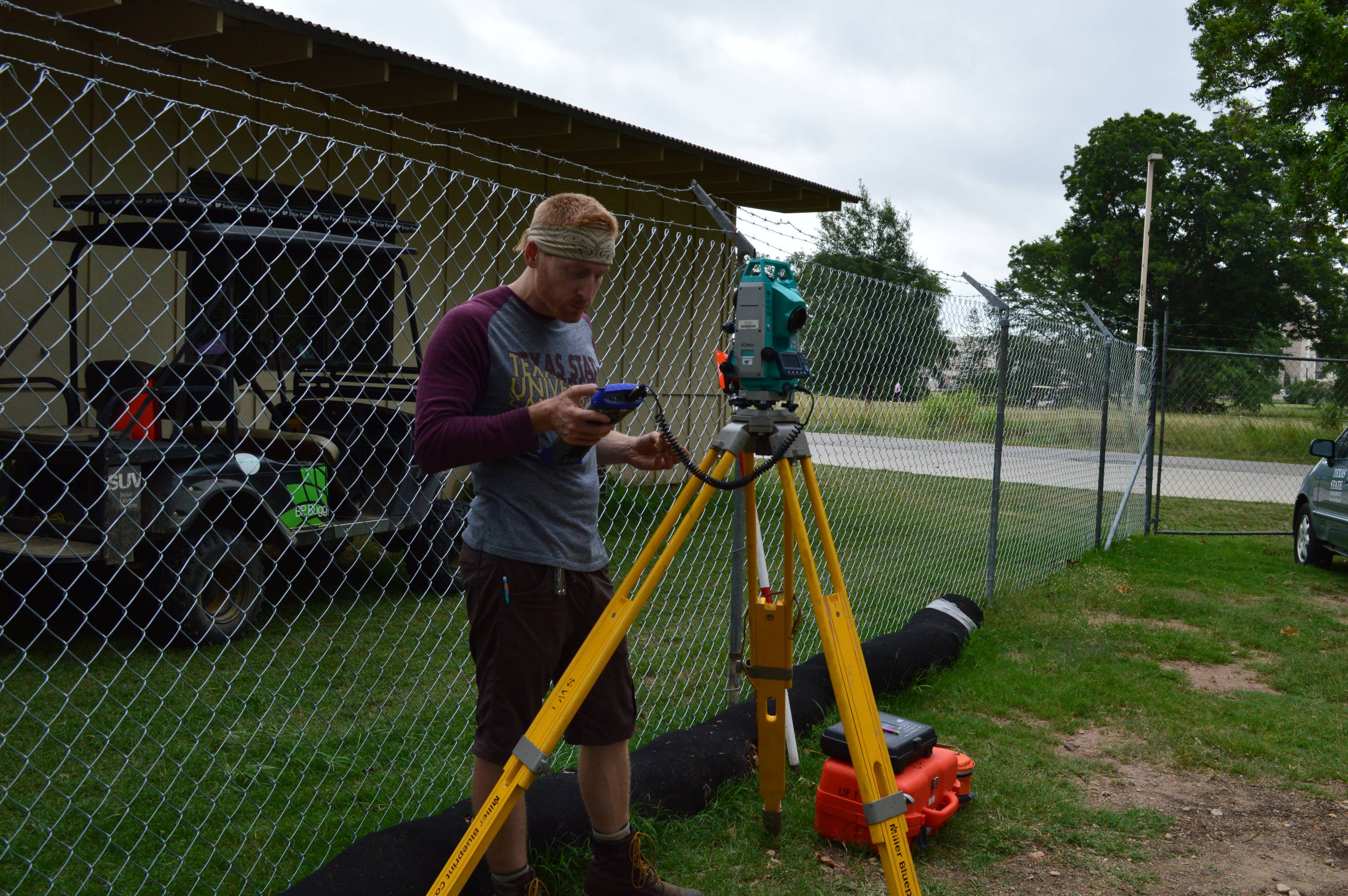
In order to keep all collected cultural materials in context, the elevation and location of items within each unit-level were mapped out using measuring tapes and line levels strung from elevation datums. More important artifacts such as unifaces, bifaces, projectile points, bone fragments, and charcoal samples were 'shot in' using a total data station (TDS). A TDS is a computerized system which uses a high-precision laser to map objects in three dimensions with sub-millimeter accuracy. Approximately 750 total individual items were mapped using the TDS.
Dry and Water Screening Excavated Sediments.
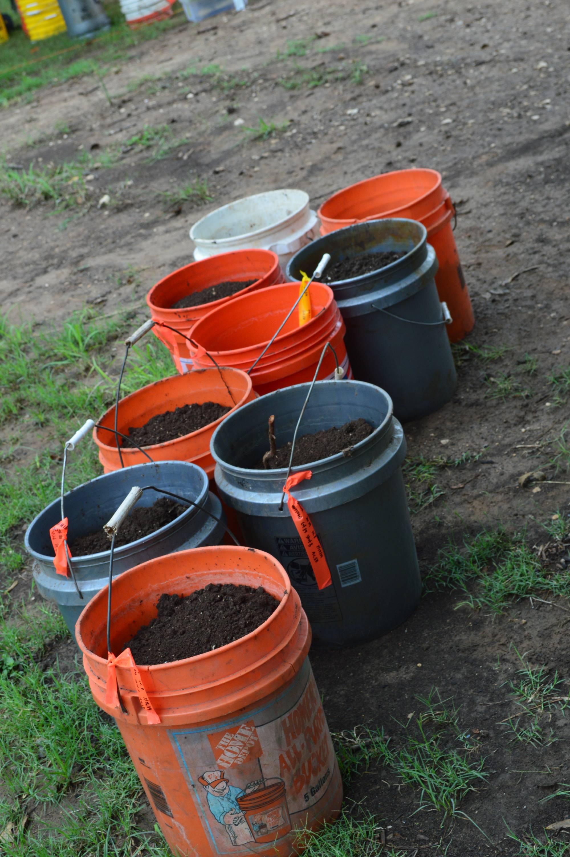
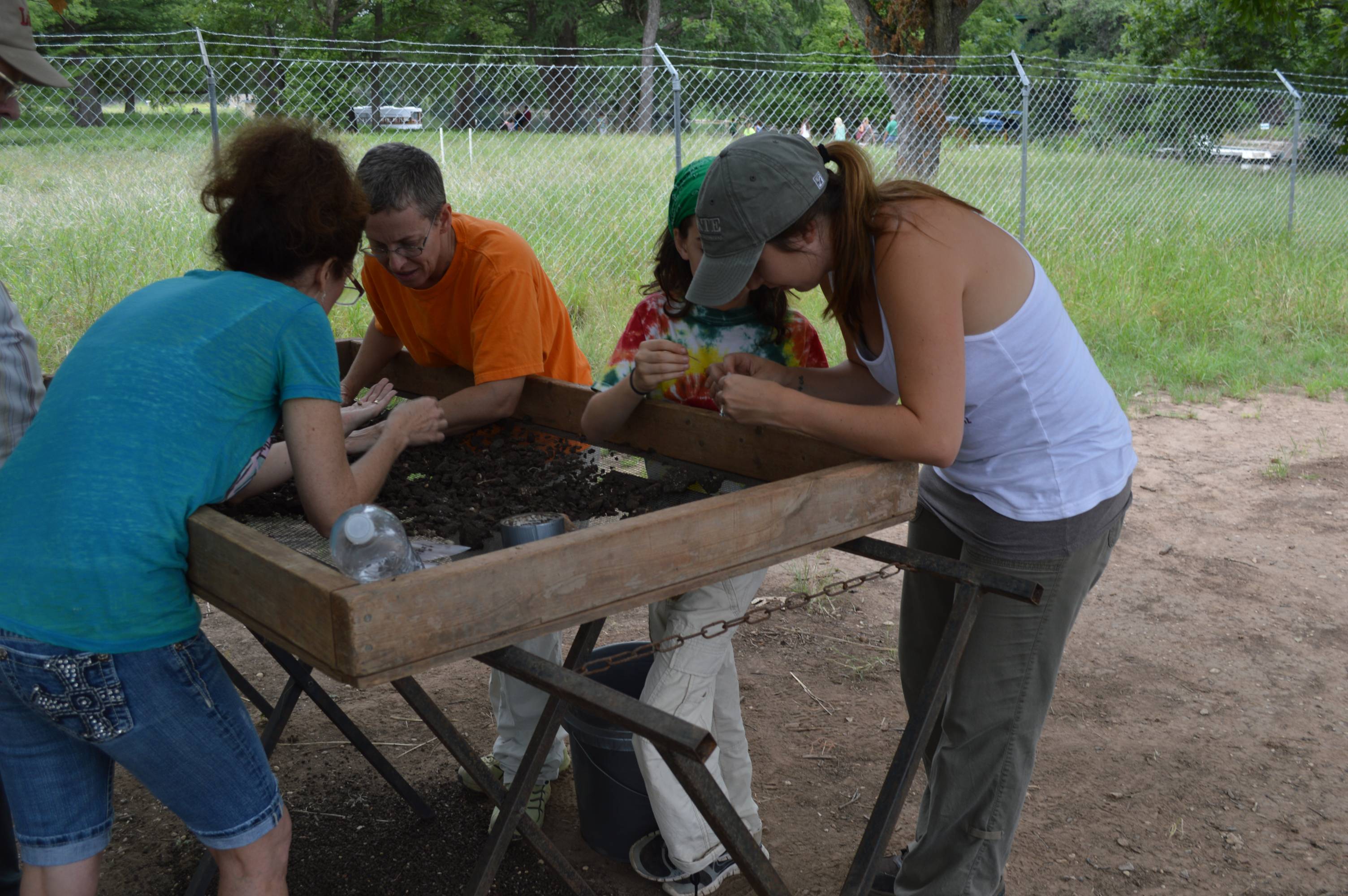
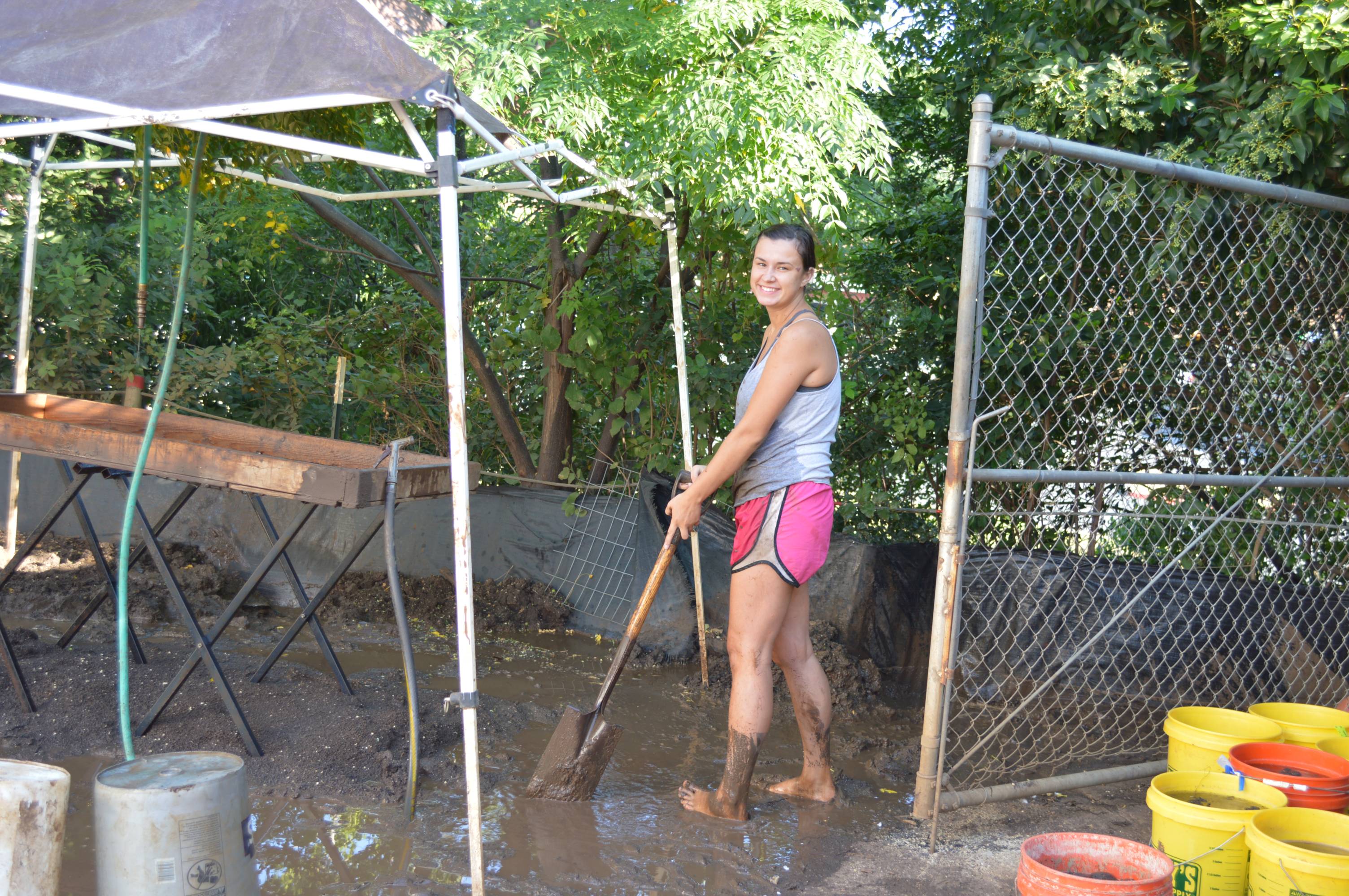
Other than a 2-liter soil sample and a bulk sample of each identified feature, all 40 cubic meters of excavated soil was passed through 1/4-inch hardware mesh, and all cultural material and snail shell was collected. As each unit level was excavated the soil was placed in labeled 5 gallon buckets (each unit-level fills about 10 buckets). The upper soil zones were dry and loose enough to dry screen; however, the vast majority of the excavated soil was highly compacted clay which was necessarily water screened off site. All together, approximately 4,000 bucket loads of soil were screened.
References Cited
Nickels, David L., and C. Britt Bousman
2010 Archaeological Testing at San Marcos Springs (41HY160) for the Texas Rivers Center, Texas, Hays County, Texas. Archaeological Studies Report no. 13. Center for Archaeological Studies, Texas State University-San Marcos.